NAVIGATING NASHVILLE
The city of Nashville is relatively easy to navigate, with most streets laid-out in a simple grid-like fashion. The downtown area is located on the west side of the Cumberland River, with numbered "Avenues" running parallel to the river (with 1st Avenue closest to the river). On the east side of the river, numbered "Streets" (not "Avenues") run parallel to the river, with 1st Street closest to the river. So...if you're on 6th Avenue you're west of the river. If you're on 6th Street, you're east of the river.
On both sides of the river, named streets (e.g. Broadway) generally run perpendicular to the river.
Given the city was built on a bend in the Cumberland River, the city has a northwest "tilt" -- When walking "north" on one of the numbered "Avenue" streets, you're actually walking in a northwesterly direction.
West of the Cumberland River, Broadway is the North / South dividing street, with "100 3rd Avenue, N." north of Broadway and "100 3rd Avenue, S." south of Broadway. East of the Cumberland River, Main Street is the North / South dividing line.
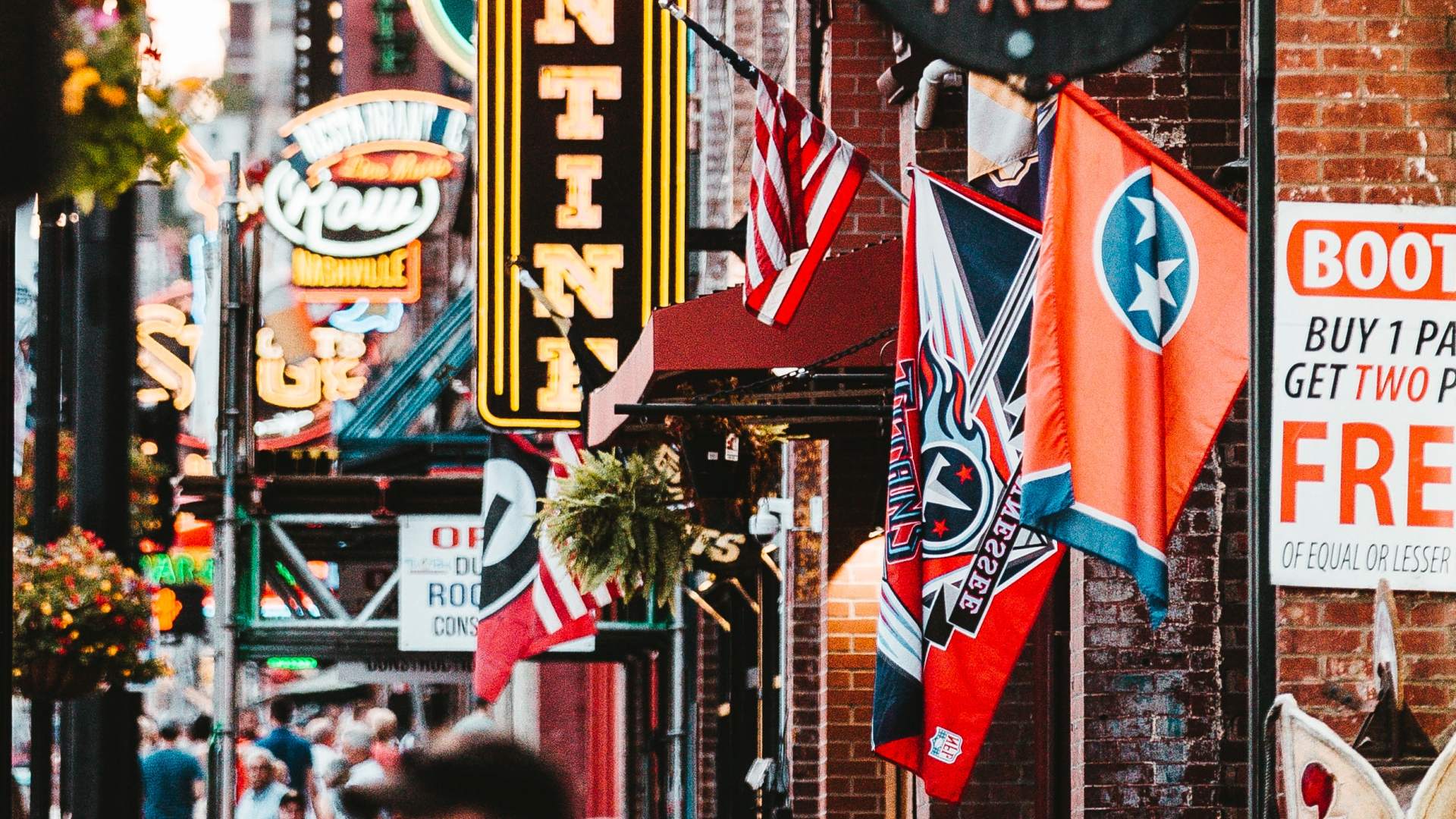
Downtown Nashville is compact and very walkable, with the core area (Cumberland River to I-40 and SoBro to the Tennessee State Capitol) about 1 square mile in size. If you don't mind doing a little walking, you don't need a car. However, certain Nashville-area destinations -- like Opryland, about 11 miles from downtown -- would require a ride share, taxi, public transporation or car.
On both sides of the river, named streets (e.g. Broadway) generally run perpendicular to the river.
Given the city was built on a bend in the Cumberland River, the city has a northwest "tilt" -- When walking "north" on one of the numbered "Avenue" streets, you're actually walking in a northwesterly direction.
West of the Cumberland River, Broadway is the North / South dividing street, with "100 3rd Avenue, N." north of Broadway and "100 3rd Avenue, S." south of Broadway. East of the Cumberland River, Main Street is the North / South dividing line.
Downtown Nashville is compact and very walkable, with the core area (Cumberland River to I-40 and SoBro to the Tennessee State Capitol) about 1 square mile in size. If you don't mind doing a little walking, you don't need a car. However, certain Nashville-area destinations -- like Opryland, about 11 miles from downtown -- would require a ride share, taxi, public transporation or car.